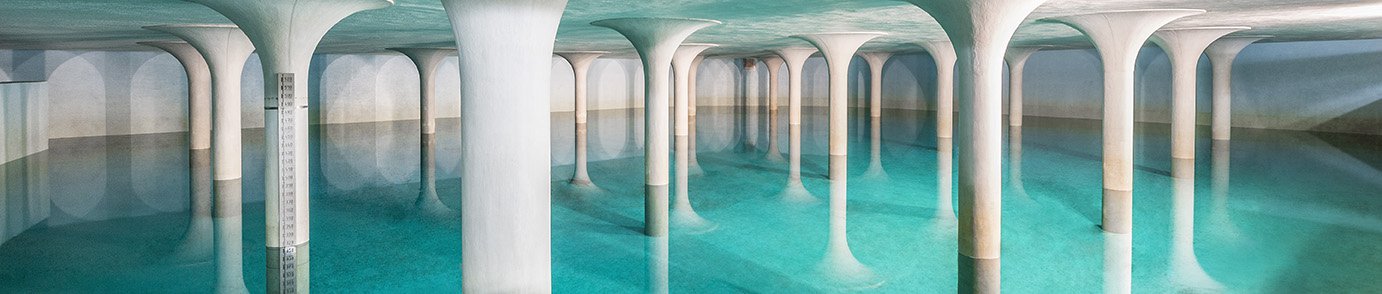
Reliable level measurement in the Indian Ocean: Radar sensors help protect against high tides and flooding
The country, which connects the continents of Asia and Australia, is composed of more than 17,000 islands. Lots of water – that also brings great dangers, like high water and flooding. But there are other good reasons for continuous water level measurement.
What information does this water level measurement provide?
In Indonesia, the national surveying authority provides a tide information system that the inhabitants of the world's largest island nation can all access online, in real time. For example, the data are used for
- navigation of ships
- hydrography, i.e. the science of water measurement and information
- tidal forecasting
. They also play an important role in flood protection. The data are also important for science: They are used, for example, to measure and map the earth's surface, and to align satellites.
In addition, the data are used to forecast sea level rise and global weather changes, as well as to gain insight into weather phenomena like El Niño and La Niña, the effects of which affect much of the Earth – for example, through heavy rain and flooding in western South America and bushfires in Australia. Seawater data are also helpful for tsunami warning.
How water level measurement works
Gauging station
River level measurement
Precise monitoring of the river level is an important requirement for sustainable extraction of river water for use as drinking water. The measurement sites are often in exposed locations and sensors are subjected to all weathers and surface conditions.

Reliable
Reliable monitoring of the river level
Cost effective
Simple mounting and signal transmission
User friendly
Wireless transmission of the measured value
Where does the data come from?

What are the requirements?

What does VEGAPULS C 23 offer?
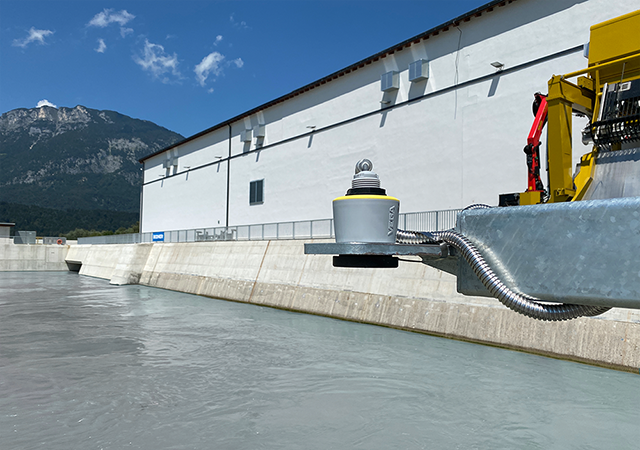
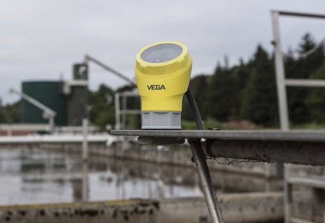
The compact, cable-connected level sensor meets the challenges in Indonesia in a variety of ways. Its easy to install, the compact, lightweight VEGAPULS C 23 can be fitted almost anywhere. One of its great advantages is that it is built around the high-performance radar microchip developed by VEGA itself. The chip is characterised especially by its
- very small design and
- low energy consumption
The instrument is based on non-contact 80-GHz technology, which enables maintenance-free operation. Thanks to its powerful signal focussing, the sensor can block out any interference caused by rain or dirt on the housing. It measures up to a distance of 30 metres with an accuracy of +/-2 millimetres. Due to its low weight, the radar sensor is easy to install – even by just one person.
How are measuring instruments affected by storms, salt and seawater?
The sea has special requirements to the radar sensor. Measured values must not be influenced by strong winds. The sensor mounting must be able to withstand constant vibration and salty sea spray. VEGAPULS C 23 radar level sensor meets all these requirements. The entire instrument series is executed in protection class IP66/IP68. In addition, the compact radar sensor scores big with its great flexibility in handling output data via
- 3-wire
- SDI 12
- Modbus
- 4 … 20 mA/HART
This makes the VEGAPULS C 23 ideally suited for the task in the island paradise of Indonesia – it provides reliable data that is also a source of important information for the local population.
Related industries

Wastewater treatment
Drinking water supply
Products

Export this article
Download as PDFShare this article
Comments ({{comments.length}})
{{getCommentAuthor(comment, "Anonymous")}} {{comment.timestamp | date : "dd.MM.yyyy HH:mm" }}
{{comment.comment}}